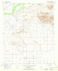
1957 Map of Avondale SW
USGS Topo · Published 1972About this map
The Gila River defines the northern reaches of this landscape, carving through the Buckeye Valley before meeting the arid expanses of the Rainbow Valley to the south. This 1957 survey, with revisions from 1971, captures a period of desert transformation where irrigation infrastructure and transportation routes like the Jackrabbit Trail began to structure the terrain between the river and the peaks of the Sierra Estrella.
Find a feature on this map
18 named features on this map. Tap any name to fly to it.
Don’t see what you’re looking for? This feature index may not catch every label — zoom into the map to look around manually.
Map Details
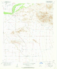
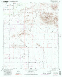
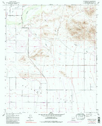
Editions of this 1957 Avondale SW Map
5 editions found
Other maps of this area

1946 · Avondale
USGS Topo · 1:62,500

1948 · Cashion
USGS Topo · 1:62,500

1951 · Mobile
USGS Topo · 1:62,500

1951 · Cotton Center
USGS Topo · 1:62,500

1954 · Phoenix
USGS Topo · 1:250,000

1957 · Phoenix
USGS Topo · 1:250,000

1957 · Valencia
USGS Topo · 1:24,000

1957 · Perryville
USGS Topo · 1:24,000

1957 · Tolleson
USGS Topo · 1:24,000

1957 · Avondale SW
USGS Topo · 1:24,000