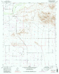
1957 Map of Avondale SW
USGS Topo · Published 1985About this map
Buckeye Valley and the northern reaches of Rainbow Valley dominate this landscape, illustrating the transition from desert agricultural lands to the dramatic rises of the Sierra Estrella. The Gila River cuts through the northwest corner, serving as a vital corridor near the Liberty Cem and the Jackrabbit Trail. This 1957 survey, with updates from the early 1970s, captures the region before the significant suburban expansion of the late 20th century, showing a network of desert washes such as Waterman Wash, Corgett Wash, and Lum Wash that define the local drainage patterns. To the east, the boundary of Estrella Mountain Regional Park marks the edge of the rugged mountain terrain, while a small Landing Strip and a significant Pipeline indicate the infrastructure supporting the valley's isolated homesteads and ranching operations during the mid-century era.
Find a feature on this map
20 named features on this map. Tap any name to fly to it.
Don’t see what you’re looking for? This feature index may not catch every label — zoom into the map to look around manually.
Map Details
Editions of this 1957 Avondale SW Map
5 editions found
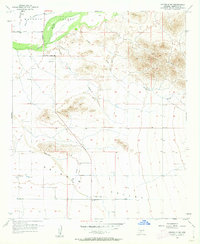
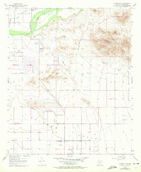
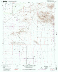
Other maps of this area

1946 · Avondale
USGS Topo · 1:62,500

1948 · Cashion
USGS Topo · 1:62,500

1951 · Mobile
USGS Topo · 1:62,500

1951 · Cotton Center
USGS Topo · 1:62,500

1954 · Phoenix
USGS Topo · 1:250,000

1957 · Phoenix
USGS Topo · 1:250,000

1957 · Valencia
USGS Topo · 1:24,000

1957 · Perryville
USGS Topo · 1:24,000

1957 · Tolleson
USGS Topo · 1:24,000

1957 · Avondale SW
USGS Topo · 1:24,000