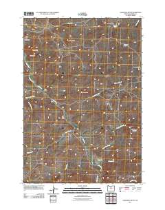
2011 Map of Axehandle Butte
USGS Topo · Published 2011About this map
Ashwood and the nearby heights of Ash Butte define the northwestern corner of this Jefferson County landscape. The area is a high-desert environment where water sources like Axehandle Spring and the drainage of Trout Creek have historically dictated movement and settlement. A complex network of ridges and peaks, including Iron Mountain, Thompson Peak, and Gooseberry Mountain, creates a fractured topography cut by numerous dry draws and seasonal streams such as Tin Can Draw and Fools Hollow.
Find a feature on this map
27 named features on this map. Tap any name to fly to it.
Don’t see what you’re looking for? This feature index may not catch every label — zoom into the map to look around manually.
Map Details
Editions of this 2011 Axehandle Butte Map
This is the sole edition of this map. No revisions or reprints were ever made.
Other maps of this area

1955 · Bend
USGS Topo · 1:250,000

1957 · Bend
USGS Topo · 1:250,000

1958 · Bend
USGS Topo · 1:250,000

1966 · Antelope
USGS Topo · 1:62,500

1966 · Willowdale
USGS Topo · 1:62,500

1968 · Horse Heaven Creek
USGS Topo · 1:24,000

1968 · Axehandle Butte
USGS Topo · 1:24,000

1968 · Dutchman Creek
USGS Topo · 1:24,000

1968 · Ashwood
USGS Topo · 1:24,000

1968 · Opal Mountain
USGS Topo · 1:24,000