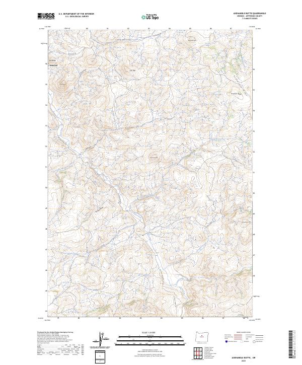
2023 Map of Axehandle Butte
USGS Topo · Published 2023About this map
The small settlement of Ashwood serves as the primary landmark in this corner of Jefferson County, situated amidst a landscape of prominent peaks and volcanic topography. Elevations shift rapidly between landmarks like Iron Mtn, Ash Butte, and Axehandle Butte, which are carved by a network of drainage systems including Big Whetstone Creek and Clover Creek. The presence of Axehandle Spring and the winding course of Trout Creek highlight the vital water sources in this high-desert environment.
Find a feature on this map
32 named features on this map. Tap any name to fly to it.
Don’t see what you’re looking for? This feature index may not catch every label — zoom into the map to look around manually.
Map Details
Editions of this 2023 Axehandle Butte Map
This is the sole edition of this map. No revisions or reprints were ever made.
Other maps of this area

1955 · Bend
USGS Topo · 1:250,000

1957 · Bend
USGS Topo · 1:250,000

1958 · Bend
USGS Topo · 1:250,000

1966 · Antelope
USGS Topo · 1:62,500

1966 · Willowdale
USGS Topo · 1:62,500

1968 · Horse Heaven Creek
USGS Topo · 1:24,000

1968 · Axehandle Butte
USGS Topo · 1:24,000

1968 · Dutchman Creek
USGS Topo · 1:24,000

1968 · Ashwood
USGS Topo · 1:24,000

1968 · Opal Mountain
USGS Topo · 1:24,000