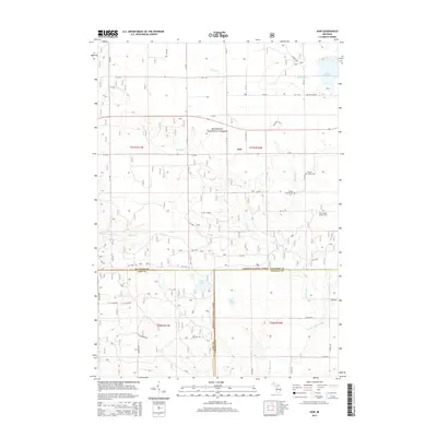
2014 Map of Axin
USGS Topo · Published 2014About this map
The Manistee National Forest covers much of this landscape at the intersection of Lake, Wexford, and Osceola counties. The small settlement of Axin serves as a central point in a region defined by its water systems and forestry roads. Numerous family burial sites, including the Larson Family Cem, Cherry Grove Cem, and Irwin Family Center Cem, are scattered across the terrain, offering significant value for genealogical research in this part of Michigan. The area is heavily wooded and drained by a network of streams like Mitchell Cr and Fairchild Cr, which flow toward larger bodies such as Lake Mitchell and Lake Olga. The road network is a mix of numbered county routes and forest service tracks like FR 5498, reflecting the area's dual character as both a rural residential zone and a managed timberland.
Find a feature on this map
56 named features on this map. Tap any name to fly to it.
Don’t see what you’re looking for? This feature index may not catch every label — zoom into the map to look around manually.
Map Details
Editions of this 2014 Axin Map
This is the sole edition of this map. No revisions or reprints were ever made.
Other maps of this area

1933 · Luther SE
USGS Topo · 1:31,680

1933 · Luther SW
USGS Topo · 1:31,680

1933 · Luther NW
USGS Topo · 1:31,680

1954 · Traverse City
USGS Topo · 1:250,000

1956 · Mesick
USGS Topo · 1:62,500

1956 · Cadillac North
USGS Topo · 1:62,500

1957 · Cadillac South
USGS Topo · 1:62,500

1957 · Luther
USGS Topo · 1:62,500

1958 · Traverse City
USGS Topo · 1:250,000

1983 · Cadillac
USGS Topo · 1:100,000