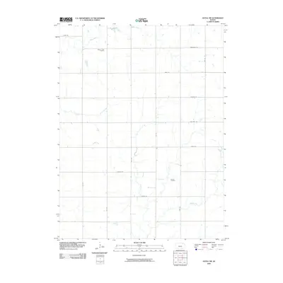
2009 Map of Axtell NW
USGS Topo · Published 2009About this map
Mission Creek Cemetery and Guittard Cemetery sit as quiet landmarks in this rural landscape of northern Marshall County, just south of the Nebraska state line. The terrain is defined by a grid of agricultural roads, including Alamo Rd and Frontier Rd, which segment the rolling plains. Waterways such as Mission Creek and North Elm Creek carve subtle paths through the sections, while Robidoux Creek winds through the southeastern corner. This area maintains a sparse, agrarian character, with the placement of cemeteries indicating the historical centers of a community organized around family farms and local drainages. The map reveals a land defined by traditional section lines, where transport is dictated by long, straight thoroughfares like 20th Rd and 23rd Rd.
Find a feature on this map
21 named features on this map. Tap any name to fly to it.
Don’t see what you’re looking for? This feature index may not catch every label — zoom into the map to look around manually.
Map Details
Editions of this 2009 Axtell NW Map
This is the sole edition of this map. No revisions or reprints were ever made.
Other maps of this area

1889 · Seneca
USGS Topo · 1:125,000

1889 · Marysville
USGS Topo · 1:125,000

1894 · Seneca
USGS Topo · 1:125,000

1894 · Marysville
USGS Topo · 1:125,000

1955 · Manhattan
USGS Topo · 1:250,000

1955 · Lincoln
USGS Topo · 1:250,000

1956 · Manhattan
USGS Topo · 1:250,000

1957 · Manhattan
USGS Topo · 1:250,000

1957 · Lincoln
USGS Topo · 1:250,000

1958 · Lincoln
USGS Topo · 1:250,000