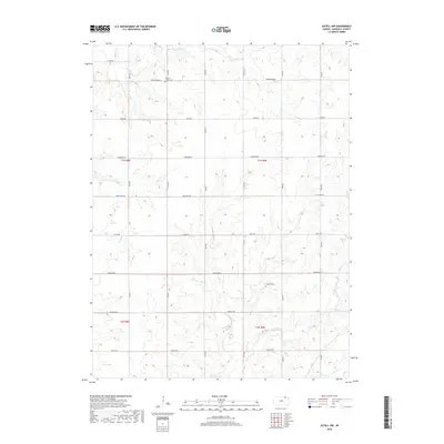
2018 Map of Axtell NW
USGS Topo · Published 2018About this map
Mission Creek Cem and Guittard Cem anchor this section of northern Kansas, where the landscape is defined by the branching tributaries of the Missouri River basin. The area is characterized by a grid-like network of rural roads such as Alamo Rd, Arrowhead Rd, and Cherokee Rd that follow section lines across the undulating terrain of Marshall County.
Find a feature on this map
27 named features on this map. Tap any name to fly to it.
Don’t see what you’re looking for? This feature index may not catch every label — zoom into the map to look around manually.
Map Details
Editions of this 2018 Axtell NW Map
This is the sole edition of this map. No revisions or reprints were ever made.
Other maps of this area

1889 · Seneca
USGS Topo · 1:125,000

1889 · Marysville
USGS Topo · 1:125,000

1894 · Seneca
USGS Topo · 1:125,000

1894 · Marysville
USGS Topo · 1:125,000

1955 · Manhattan
USGS Topo · 1:250,000

1955 · Lincoln
USGS Topo · 1:250,000

1956 · Manhattan
USGS Topo · 1:250,000

1957 · Manhattan
USGS Topo · 1:250,000

1957 · Lincoln
USGS Topo · 1:250,000

1958 · Lincoln
USGS Topo · 1:250,000