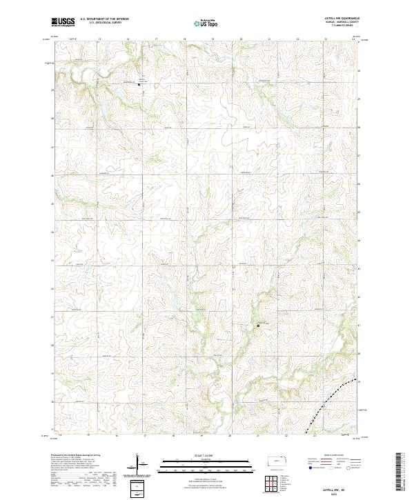
2022 Map of Axtell NW
USGS Topo · Published 2022About this map
Mission Creek Cem and Guittard Cem are focal points for local history and genealogy in this northern Kansas landscape. This 2022 survey captures a rural environment defined by a dense network of watercourses and a strict section-line road system. The drainage patterns are dominated by south-flowing streams, including Mission Cr, Murdock Cr, and the winding Robidoux Cr, which carve subtle valleys across the plateau. The land is organized by a grid of named routes like Alamo Rd, Bison Rd, and Frontier Rd, reflecting the enduring township and range structure that has shaped Marshall County for generations. The proximity of Spring Cr and N Elm Cr highlights the intricate hydrology that supports the agricultural character of this region.
Find a feature on this map
21 named features on this map. Tap any name to fly to it.
Don’t see what you’re looking for? This feature index may not catch every label — zoom into the map to look around manually.
Map Details
Editions of this 2022 Axtell NW Map
This is the sole edition of this map. No revisions or reprints were ever made.
Other maps of this area

1889 · Seneca
USGS Topo · 1:125,000

1889 · Marysville
USGS Topo · 1:125,000

1894 · Seneca
USGS Topo · 1:125,000

1894 · Marysville
USGS Topo · 1:125,000

1955 · Manhattan
USGS Topo · 1:250,000

1955 · Lincoln
USGS Topo · 1:250,000

1956 · Manhattan
USGS Topo · 1:250,000

1957 · Manhattan
USGS Topo · 1:250,000

1957 · Lincoln
USGS Topo · 1:250,000

1958 · Lincoln
USGS Topo · 1:250,000