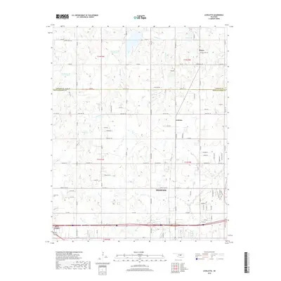
2018 Map of Aydelotte
USGS Topo · Published 2018About this map
Shawnee and its northern outskirts are the focus of this 2018 survey, which straddles the boundary between Lincoln and Pottawatomie counties. The landscape is defined by a complex drainage network including Rock Cr and the S Quapaw Cr, which feed several significant water bodies such as Meeker Lake and Poplin Lake. The settlement pattern centers on the town of Meeker in the northeast and the community of Aydelotte at the intersection of local routes, showing a transition from the urban reach of northern Shawnee to the agricultural and reservoir-dotted country to the north.
Find a feature on this map
58 named features on this map. Tap any name to fly to it.
Don’t see what you’re looking for? This feature index may not catch every label — zoom into the map to look around manually.
Map Details
Editions of this 2018 Aydelotte Map
This is the sole edition of this map. No revisions or reprints were ever made.
Other maps of this area

1896 · Seminole and Prague
USGS Topo · 1:125,000

1898 · Purcell
USGS Topo · 1:125,000

1905 · Chandler
USGS Topo · 1:62,500

1907 · Chandler
USGS Topo · 1:62,500

1909 · Shawnee
USGS Topo · 1:62,500

1909 · Luther
USGS Topo · 1:62,500

1930 · McLoud
USGS Topo · 1:62,500

1954 · Oklahoma City
USGS Topo · 1:250,000

1957 · Oklahoma City
USGS Topo · 1:250,000

1963 · Oklahoma City
USGS Topo · 1:250,000