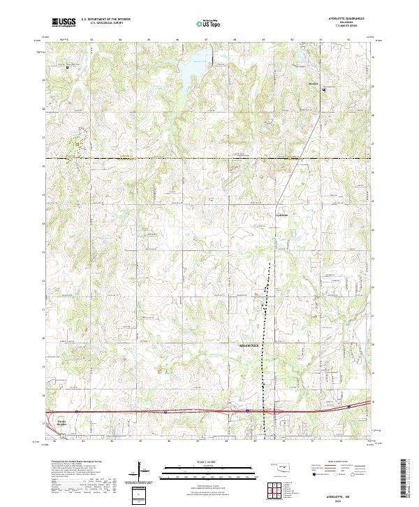
2022 Map of Aydelotte
USGS Topo · Published 2022About this map
The boundary between Lincoln and Pottawatomie counties splits a landscape of prairie creeks and growing suburban outskirts east of Oklahoma City. In the northern reaches, the town of Meeker sits near Meeker Lake and Poplin Lake, while further south the map captures the northern edge of Shawnee, including Clarks Heights. This area is defined by its water management, featuring several flood control structures such as Quapaw Cr Site 15 Reservoir and Quapaw Cr Site 18 Reservoir which feed into S Quapaw Cr. Genealogy researchers can find several local burial grounds, including New Hope Cem near Meeker and Centerville Cem to the west. The southern edge of the map is marked by the course of the North Canadian River, where the terrain transitions into the river's broad floodplain.
Find a feature on this map
57 named features on this map. Tap any name to fly to it.
Don’t see what you’re looking for? This feature index may not catch every label — zoom into the map to look around manually.
Map Details
Editions of this 2022 Aydelotte Map
This is the sole edition of this map. No revisions or reprints were ever made.
Other maps of this area

1896 · Seminole and Prague
USGS Topo · 1:125,000

1898 · Purcell
USGS Topo · 1:125,000

1905 · Chandler
USGS Topo · 1:62,500

1907 · Chandler
USGS Topo · 1:62,500

1909 · Shawnee
USGS Topo · 1:62,500

1909 · Luther
USGS Topo · 1:62,500

1930 · McLoud
USGS Topo · 1:62,500

1954 · Oklahoma City
USGS Topo · 1:250,000

1957 · Oklahoma City
USGS Topo · 1:250,000

1963 · Oklahoma City
USGS Topo · 1:250,000