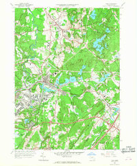
1966 Map of Ayer
USGS Topo · Published 1968About this map
Fort Devens Mil Res dominates the central and southern landscape of this 1960s survey, illustrating the significant military footprint in the area during the mid-20th century. The surrounding region of Groton, Ayer, and Littleton maintains its traditional character, defined by prestigious institutions like Lawrence Academy and the Groton School, alongside unique historical sites such as Shaker Village. The terrain is punctuated by numerous glacial water bodies, including the sprawling Lost Lake and Knops Pond complex, while the Nashua River and Squannacook River wind through the western edge. Cultural and scientific landmarks are well-represented, from the Harvard University Observatory at the southern boundary to the Ayer State Game Farm further north. This period shows a complex mix of academic, military, and rural life, connected by the Boston and Maine railroad lines that converge at the busy junction in Ayer.
Find a feature on this map
70 named features on this map. Tap any name to fly to it.
Don’t see what you’re looking for? This feature index may not catch every label — zoom into the map to look around manually.
Map Details
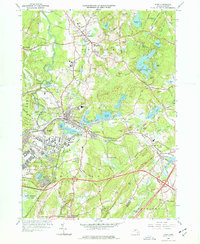
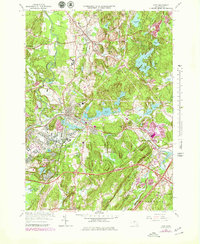
Editions of this 1966 Ayer Map
3 editions found
Other maps of this area

1886 · Lowell
USGS Topo · 1:62,500

1886 · Framingham
USGS Topo · 1:62,500

1887 · Marlboro
USGS Topo · 1:62,500

1889 · Marlboro
USGS Topo · 1:62,500

1889 · Framingham
USGS Topo · 1:62,500

1893 · Lowell
USGS Topo · 1:62,500

1893 · Groton
USGS Topo · 1:62,500

1894 · Framingham
USGS Topo · 1:62,500

1896 · Marlboro
USGS Topo · 1:62,500

1898 · Marlboro
USGS Topo · 1:62,500