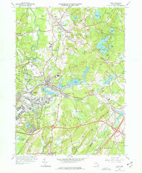
1966 Map of Ayer
USGS Topo · Published 1977About this map
Ayer stands as a significant regional crossroads in the mid-1960s, defined by the convergence of the Boston and Maine RR and the expansive operations of the Fort Devens Military Reservation. The town is surrounded by a complex network of glacial ponds, including Flannagan Pond, Sandy Pond, and Spectacle Pond, which separate the industrial and military hubs from the academic and agricultural landscapes of the surrounding townships.
Find a feature on this map
135 named features on this map. Tap any name to fly to it.
Don’t see what you’re looking for? This feature index may not catch every label — zoom into the map to look around manually.
Map Details
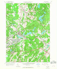
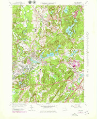
Editions of this 1966 Ayer Map
3 editions found
Other maps of this area

1886 · Lowell
USGS Topo · 1:62,500

1886 · Framingham
USGS Topo · 1:62,500

1887 · Marlboro
USGS Topo · 1:62,500

1889 · Marlboro
USGS Topo · 1:62,500

1889 · Framingham
USGS Topo · 1:62,500

1893 · Lowell
USGS Topo · 1:62,500

1893 · Groton
USGS Topo · 1:62,500

1894 · Framingham
USGS Topo · 1:62,500

1896 · Marlboro
USGS Topo · 1:62,500

1898 · Marlboro
USGS Topo · 1:62,500