
1947 Map of Ayers Hill
USGS Topo · Published 1957About this map
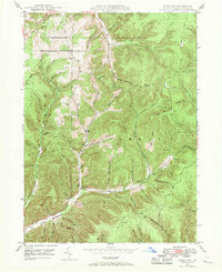
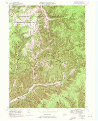
The settlement at Ayers Hill and its surrounding uplands define this section of Potter County, where the terrain is deeply incised by a dense network of runs and hollows. This landscape reveals a mid-century transition from early industrial use to recreation and conservation, evidenced by the proximity of the Coudersport Country Club to timber-linked watercourses like Mill Creek and Nelson Run. The presence of several family-named burial grounds, including Anson Cem, Jackson Cem, and Ayers Hill Cem, provides a detailed record of the families who settled these ridges long before the state parks were established.
Find a feature on this map
74 named features on this map. Tap any name to fly to it.
Don’t see what you’re looking for? This feature index may not catch every label — zoom into the map to look around manually.
Map Details
Editions of this 1947 Ayers Hill Map
Other maps of this area

1932 · Genesee
USGS Topo · 1:62,500

1934 · Coudersport
USGS Topo · 1:48,000

1937 · Genesee
USGS Topo · 1:62,500

1938 · Coudersport
USGS Topo · 1:62,500

1947 · Conrad
USGS Topo · 1:62,500

1947 · Conrad
USGS Topo · 1:24,000

1947 · Short Run
USGS Topo · 1:24,000

1947 · Cherry Springs
USGS Topo · 1:24,000

1948 · Emporium
USGS Topo · 1:62,500
1948 · Wharton
USGS Topo · 1:24,000
Featured Places
- Sweden Township, PA
- Borie, Summit Township
- Summit Township, PA
- Sylvania Township, PA
- Eulalia Township, PA