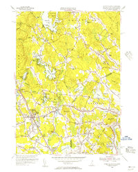
1955 Map of Ayers Village
USGS Topo · Published 1956About this map
Salem and its surrounding communities straddle the border of New Hampshire and Massachusetts in the mid-1950s, a period of notable growth for the region. The landscape is defined by the Boston and Maine Railroad corridor, which connects Salem Depot and the bustling activity at Rockingham Park to northern industrial hubs. Leisure and recreation are prominently featured at Canobie Lake Park, while local industry is reflected in the numerous gravel pits and a Quarry near North Salem.
Find a feature on this map
86 named features on this map. Tap any name to fly to it.
Don’t see what you’re looking for? This feature index may not catch every label — zoom into the map to look around manually.
Map Details
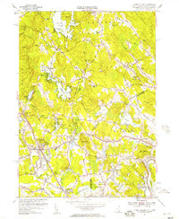
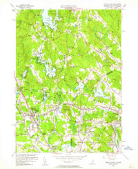
Editions of this 1955 Ayers Village Map
3 editions found
Other maps of this area

1886 · Lawrence
USGS Topo · 1:62,500

1886 · Lowell
USGS Topo · 1:62,500

1888 · Haverhill
USGS Topo · 1:62,500

1888 · Lawrence
USGS Topo · 1:62,500

1890 · Haverhill
USGS Topo · 1:62,500

1893 · Lowell
USGS Topo · 1:62,500

1893 · Lawrence
USGS Topo · 1:62,500

1893 · Haverhill
USGS Topo · 1:62,500

1905 · Manchester
USGS Topo · 1:62,500

1918 · Lowell
USGS Topo · 1:62,500