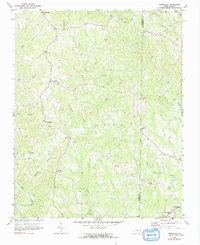
1971 Map of Ayersville
USGS Topo · Published 1991About this map
Sandy Ridge and Ayersville anchor the high ground of the northern Piedmont in the early 1970s, where the landscape is defined by the branching drainages of Big Beaver Island Creek and Buffalo Creek. The settlement pattern follows the ridges between these winding waterways, connecting rural communities like Prestonville and Dodgetown through a network of winding roads and occasional jeep trails.
Find a feature on this map
29 named features on this map. Tap any name to fly to it.
Don’t see what you’re looking for? This feature index may not catch every label — zoom into the map to look around manually.
Map Details
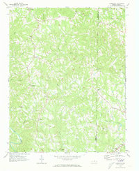
Editions of this 1971 Ayersville Map
2 editions found
Other maps of this area

1924 · Martinsville
USGS Topo · 1:48,000

1926 · Martinsville
USGS Topo · 1:62,500

1926 · Critz
USGS Topo · 1:48,000

1927 · Martinsville
USGS Topo · 1:62,500

1928 · Critz
USGS Topo · 1:62,500

1944 · Martinsville
USGS Topo · 1:62,500

1953 · Winston-Salem
USGS Topo · 1:250,000

1953 · Greensboro
USGS Topo · 1:250,000

1954 · Greensboro
USGS Topo · 1:250,000

1955 · Winston-Salem
USGS Topo · 1:250,000