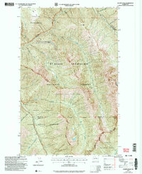
2002 Map of Azurite Peak
USGS Topo · Published 2006About this map
Azurite Mine, North American Mine, and the Gold Hill Mine are scattered across this high-elevation landscape, marking a history of extraction within what is now the Mt Baker - Snoqualmie National Forest. The map captures the rugged intersection of the Pasayten Wilderness and the North Cascades, where high peaks like Azurite Peak and Mount Ballard dominate the drainage basins of Devils Creek and Slate Creek. The absence of heavy infrastructure, save for the Scenic Highway Corridor in the south and the remote Fourmile Camp, underscores the area's role as a protected wilderness. Historical access points such as Cady Pass and Mabee Pass highlight the traditional routes used by prospectors and travelers to navigate the crests between Whatcom and Skagit counties.
Find a feature on this map
32 named features on this map. Tap any name to fly to it.
Don’t see what you’re looking for? This feature index may not catch every label — zoom into the map to look around manually.
Map Details
Editions of this 2002 Azurite Peak Map
This is the sole edition of this map. No revisions or reprints were ever made.
Other maps of this area

1920 · Slate Pass
USGS Topo · 1:125,000

1955 · Concrete
USGS Topo · 1:250,000

1958 · Concrete
USGS Topo · 1:250,000

1962 · Concrete
USGS Topo · 1:250,000

1963 · Washington Pass
USGS Topo · 1:24,000

1963 · Azurite Peak
USGS Topo · 1:24,000

1963 · Slate Peak
USGS Topo · 1:24,000
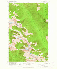
1963 · Mt. Arriva
USGS Topo · 1:24,000
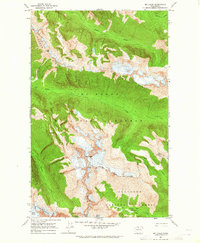
1963 · Mt Logan
USGS Topo · 1:24,000

1963 · Crater Mountain
USGS Topo · 1:24,000