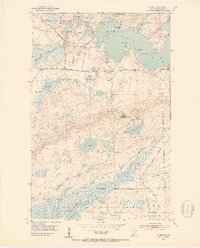
1951 Map of Babbitt
USGS Topo · Published 1953About this map
The settlement of Babbitt stands at a pivotal moment of expansion during the early 1950s, defined by the industrial development of the Iron Range. The map captures a landscape in transition, specifically noting the Duluth Missabe and Iron Range Railroad Company as under construction in certain sections. This infrastructure was critical for moving ore through the heart of the Superior National Forest.
Find a feature on this map
39 named features on this map. Tap any name to fly to it.
Don’t see what you’re looking for? This feature index may not catch every label — zoom into the map to look around manually.
Map Details
Editions of this 1951 Babbitt Map
2 editions found
Other maps of this area

1933 · Ely
USGS Topo · 1:62,500

1939 · Ely
USGS Topo · 1:62,500

1949 · Isaac Lake
USGS Topo · 1:24,000

1949 · Allen
USGS Topo · 1:24,000

1950 · Isaac Lake
USGS Topo · 1:24,000

1950 · Allen
USGS Topo · 1:24,000

1951 · Babbitt SW
USGS Topo · 1:24,000

1951 · Babbitt
USGS Topo · 1:24,000

1952 · Babbitt SE
USGS Topo · 1:24,000

1952 · Babbitt NE
USGS Topo · 1:24,000
Featured Places
- Babbitt, MN
- Bassett Township, MN
- Birch Lake (Unorganized Territory), MN
- Saint Louis County, MN
- United States