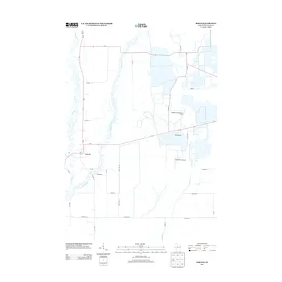
2013 Map of Babcock
USGS Topo · Published 2013About this map
The settlement of Babcock and the surrounding marshy lowlands of Wood County define this 2013 survey. The landscape is deeply tied to the regional cranberry industry, as evidenced by the namesake Cranberry Creek and specialized facilities like the Whittlesey Cranberry Co Airport and Gottschalk Field Airport. These small airfields highlight the modern logistical needs of the area's agricultural operations.
Find a feature on this map
29 named features on this map. Tap any name to fly to it.
Don’t see what you’re looking for? This feature index may not catch every label — zoom into the map to look around manually.
Map Details
Editions of this 2013 Babcock Map
This is the sole edition of this map. No revisions or reprints were ever made.
Other maps of this area

1953 · Eau Claire
USGS Topo · 1:250,000

1955 · Green Bay
USGS Topo · 1:250,000

1957 · Wisconsin Rapids
USGS Topo · 1:48,000

1957 · Pittsville
USGS Topo · 1:48,000

1958 · Eau Claire
USGS Topo · 1:250,000

1958 · Arkdale
USGS Topo · 1:48,000

1958 · Necedah
USGS Topo · 1:48,000

1964 · Eau Claire
USGS Topo · 1:250,000

1967 · Wisconsin Rapids
USGS Topo · 1:62,500

1967 · Pittsville
USGS Topo · 1:62,500