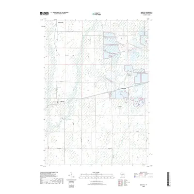
2018 Map of Babcock
USGS Topo · Published 2018About this map
Cranberry marshes and flatland drainage networks dominate this central Wisconsin landscape, illustrating the specialized agricultural industry of Wood County. The settlement of Cranmoor is surrounded by an intricate system of rectangular water impoundments and ditches, including those feeding into Cranberry Cr. To the west, the Yellow River flows south toward the village of Babcock, where the Babcock Cem and several local thoroughfares like Marathon Ave mark the community's footprint. The proximity of the Whittlesey-Cranberry Co Airport and Gottschalk Field underscores the utility of aviation in managing these expansive commercial marshlands. Northward, the small settlement of Dexterville sits near the upper reaches of the river, while rural roads such as Lonesome Rd and Batterman Rd delineate the section lines of this largely aqueous terrain.
Find a feature on this map
28 named features on this map. Tap any name to fly to it.
Don’t see what you’re looking for? This feature index may not catch every label — zoom into the map to look around manually.
Map Details
Editions of this 2018 Babcock Map
This is the sole edition of this map. No revisions or reprints were ever made.
Other maps of this area

1953 · Eau Claire
USGS Topo · 1:250,000

1955 · Green Bay
USGS Topo · 1:250,000

1957 · Wisconsin Rapids
USGS Topo · 1:48,000

1957 · Pittsville
USGS Topo · 1:48,000

1958 · Eau Claire
USGS Topo · 1:250,000

1958 · Arkdale
USGS Topo · 1:48,000

1958 · Necedah
USGS Topo · 1:48,000

1964 · Eau Claire
USGS Topo · 1:250,000

1967 · Wisconsin Rapids
USGS Topo · 1:62,500

1967 · Pittsville
USGS Topo · 1:62,500