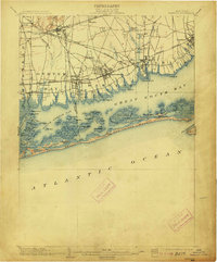
1903 Map of Babylon
USGS Topo · Published 1913About this map
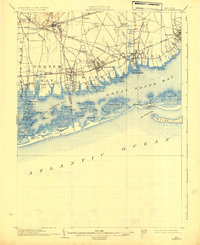
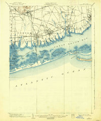
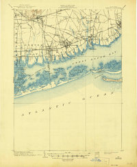
Babylon and the neighboring coastal villages of Amityville and Lindenhurst serve as the focal points for this early century topographic study of the south shore. The landscape is defined by the complex aquatic geography of Great South Bay and South Oyster Bay, protected from the Atlantic by a series of barrier islands including Jones Beach and Oak Island Beach. Inland, the Long Island R. R. establishes a clear corridor for growth, with the Montauk Division and Hempstead Branch connecting settlements like Seaford, Massapequa, and Farmingdale.
Find a feature on this map
86 named features on this map. Tap any name to fly to it.
Don’t see what you’re looking for? This feature index may not catch every label — zoom into the map to look around manually.
Map Details
Editions of this 1903 Babylon Map
8 editions found

Other maps of this area

1897 · Hempstead
USGS Topo · 1:62,500

1897 · Oyster Bay
USGS Topo · 1:62,500

1898 · Hempstead
USGS Topo · 1:62,500

1898 · Oyster Bay
USGS Topo · 1:62,500

1899 · Hempstead
USGS Topo · 1:62,500

1900 · Oyster Bay
USGS Topo · 1:62,500

1901 · Babylon
USGS Topo · 1:62,500

1901 · Northport
USGS Topo · 1:62,500

1902 · Setauket
USGS Topo · 1:62,500

1902 · Fire Island
USGS Topo · 1:62,500