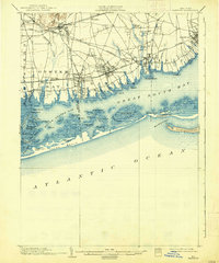
1903 Map of Babylon
USGS Topo · Published 1938About this map
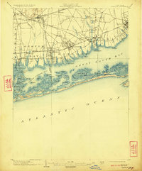
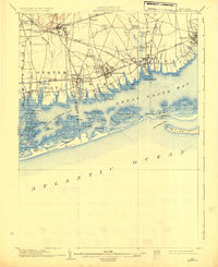
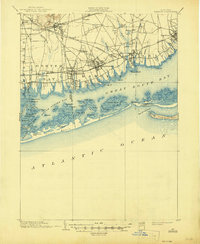
Babylon and the neighboring shoreline communities of Amityville, Lindenhurst, and Bay Shore characterize this turn-of-the-century coastal landscape. The survey details the early 20th-century development of the South Shore, where the Long Island R. R. (Montauk Branch) and the Montauk Division provided essential transport links between the mainland and the growing seaside villages. Inland, the presence of the St. Dominic Convent and the railway station at Pinelawn suggest the established social and religious infrastructure of the era.
Find a feature on this map
81 named features on this map. Tap any name to fly to it.
Don’t see what you’re looking for? This feature index may not catch every label — zoom into the map to look around manually.
Map Details
Editions of this 1903 Babylon Map
8 editions found

Other maps of this area

1897 · Hempstead
USGS Topo · 1:62,500

1897 · Oyster Bay
USGS Topo · 1:62,500

1898 · Hempstead
USGS Topo · 1:62,500

1898 · Oyster Bay
USGS Topo · 1:62,500

1899 · Hempstead
USGS Topo · 1:62,500

1900 · Oyster Bay
USGS Topo · 1:62,500

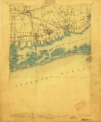
1901 · Babylon
USGS Topo · 1:62,500

1901 · Northport
USGS Topo · 1:62,500

1902 · Setauket
USGS Topo · 1:62,500

1902 · Fire Island
USGS Topo · 1:62,500