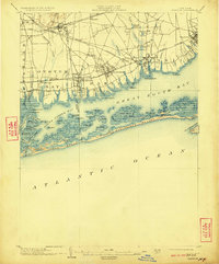
1903 Map of Babylon
USGS Topo · Published 1923About this map
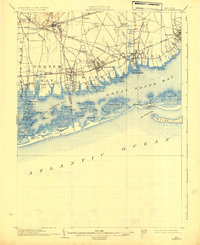
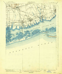
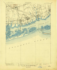
The southern shoreline of Long Island reveals a complex network of barrier islands and salt marshes at the opening of the twentieth century. Within South Oyster Bay and Great South Bay, a labyrinth of landforms such as Gilgo Island, Muncie Island, and Cedar Island are interspersed with tidal channels like Sloop Channel and Great Island Channel. The outer barrier of Jones Beach and Oak Island Beach is punctuated by critical maritime safety outposts, including Zachs Inlet L.S.S. and the Gilgo Life Saving Station.
Find a feature on this map
77 named features on this map. Tap any name to fly to it.
Don’t see what you’re looking for? This feature index may not catch every label — zoom into the map to look around manually.
Map Details
Editions of this 1903 Babylon Map
8 editions found

Other maps of this area

1897 · Hempstead
USGS Topo · 1:62,500

1897 · Oyster Bay
USGS Topo · 1:62,500

1898 · Hempstead
USGS Topo · 1:62,500

1898 · Oyster Bay
USGS Topo · 1:62,500

1899 · Hempstead
USGS Topo · 1:62,500

1900 · Oyster Bay
USGS Topo · 1:62,500

1901 · Babylon
USGS Topo · 1:62,500

1901 · Northport
USGS Topo · 1:62,500

1902 · Setauket
USGS Topo · 1:62,500

1902 · Fire Island
USGS Topo · 1:62,500