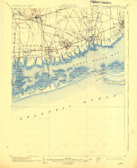
1903 Map of Babylon
USGS Topo · Published 1930About this map
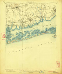
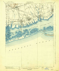
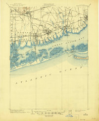
Babylon and the surrounding south shore of Long Island are captured here during a period of steady growth along the Long Island R. R. corridors. The landscape is defined by the transition from inland settlements like Farmingdale and Pinelawn to the complex estuarine network of South Oyster Bay and Great South Bay. The map reveals a pre-suburban era where numerous creeks, such as Santapogue River and Carl's River, dictated the placement of early mills and ponds like Belmont Pond. Coastal life is heavily emphasized through the presence of multiple Life-Saving Stations, including Jones Beach L.S.S. and Oak Island L.S.S., protecting the shifting sands of the barrier islands. Notable landmarks like the St. Dominic Convent and the Kennel Club near Babylon highlight the social and religious institutions establishing themselves in Suffolk County at the turn of the century.
Find a feature on this map
83 named features on this map. Tap any name to fly to it.
Don’t see what you’re looking for? This feature index may not catch every label — zoom into the map to look around manually.
Map Details
Editions of this 1903 Babylon Map
8 editions found

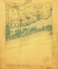
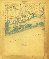
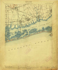
Other maps of this area

1897 · Hempstead
USGS Topo · 1:62,500

1897 · Oyster Bay
USGS Topo · 1:62,500

1898 · Hempstead
USGS Topo · 1:62,500

1898 · Oyster Bay
USGS Topo · 1:62,500

1899 · Hempstead
USGS Topo · 1:62,500

1900 · Oyster Bay
USGS Topo · 1:62,500

1901 · Babylon
USGS Topo · 1:62,500

1901 · Northport
USGS Topo · 1:62,500

1902 · Setauket
USGS Topo · 1:62,500

1902 · Fire Island
USGS Topo · 1:62,500