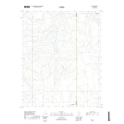
2019 Map of Back
USGS Topo · Published 2019About this map
McClellan Cr and its tributaries carve a network of drainages across this section of the Texas Panhandle, defining the landscape between the Gray and Wheeler County line. In the northern reaches, the small settlement of Kellerville sits near the intersection of FM 2473 and Ranch RD 2473, serving as a localized hub in an area otherwise dominated by ranching and oil-related infrastructure. The terrain is notably etched by watercourses such as Hackberry Cr, which feeds into RD Back Lake, and the expansive Saye Draw.
Find a feature on this map
30 named features on this map. Tap any name to fly to it.
Don’t see what you’re looking for? This feature index may not catch every label — zoom into the map to look around manually.
Map Details
Editions of this 2019 Back Map
This is the sole edition of this map. No revisions or reprints were ever made.
Other maps of this area

1954 · Amarillo
USGS Topo · 1:250,000

1958 · Amarillo
USGS Topo · 1:250,000

1962 · Hudgens Ranch
USGS Topo · 1:24,000

1962 · Back
USGS Topo · 1:24,000

1962 · Pond Creek
USGS Topo · 1:24,000

1962 · Spring Creek
USGS Topo · 1:24,000

1962 · Pakan
USGS Topo · 1:24,000

1962 · Pond Creek NW
USGS Topo · 1:24,000

1963 · Alanreed
USGS Topo · 1:24,000

1963 · Ramsdell
USGS Topo · 1:24,000