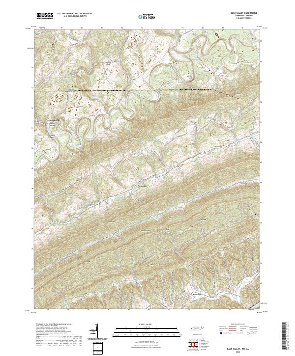
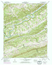
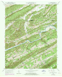
2022 Map of Back Valley
USGS Topo · Published 2022About this map
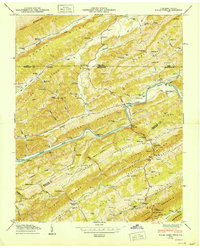
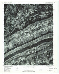
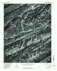
The Powell River winds through this rugged section of the Clinch River basin, defining the borderlands between Hancock County, Tennessee, and Lee County, Virginia. The topography is dominated by parallel ridges including Newman Ridge, Powell Mtn, and Wallens Ridge, which create a series of isolated valleys and hollows. Small agricultural and residential clusters such as Sunnyside and Evanston are connected by a network of rural roads that follow the natural contours of the land.
Find a feature on this map
112 named features on this map. Tap any name to fly to it.
Don’t see what you’re looking for? This feature index may not catch every label — zoom into the map to look around manually.
Map Details
Editions of this 2022 Back Valley Map
This is the sole edition of this map. No revisions or reprints were ever made.
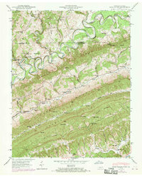
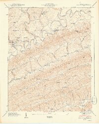
Historical Maps of Thompson Mill Through Time
14 maps found
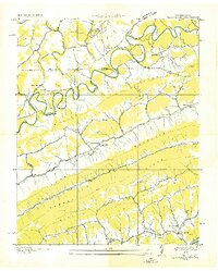
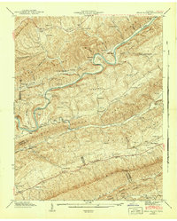
1935 Back Valley
Hancock County, TN
1935 Kyles Ford
Hancock County, TN
1935 Swan Island
Hancock County, TN
1941 Swan Island
Hancock County, TN
1942 Swan Island
Hancock County, TN
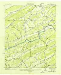
1946 Back Valley
Hancock County, TN
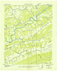
1948 Back Valley
Hancock County, TN
1950 Kyles Ford
Hancock County, TN
1969 Kyles Ford
Hancock County, TN
1976 Back Valley
Hancock County, TN
1976 Kyles Ford
Hancock County, TN
2022 Back Valley
Hancock County, TN
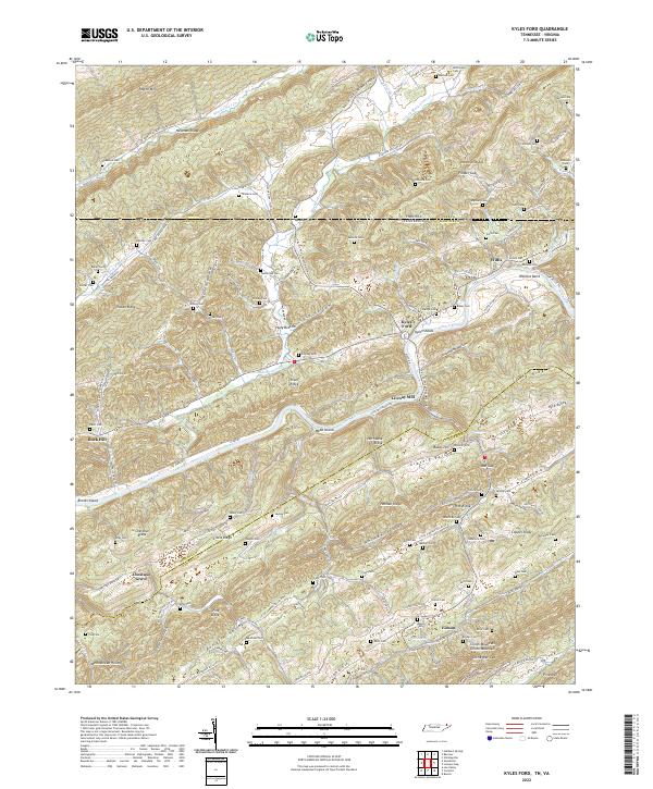
2022 Kyles Ford
Hancock County, TN
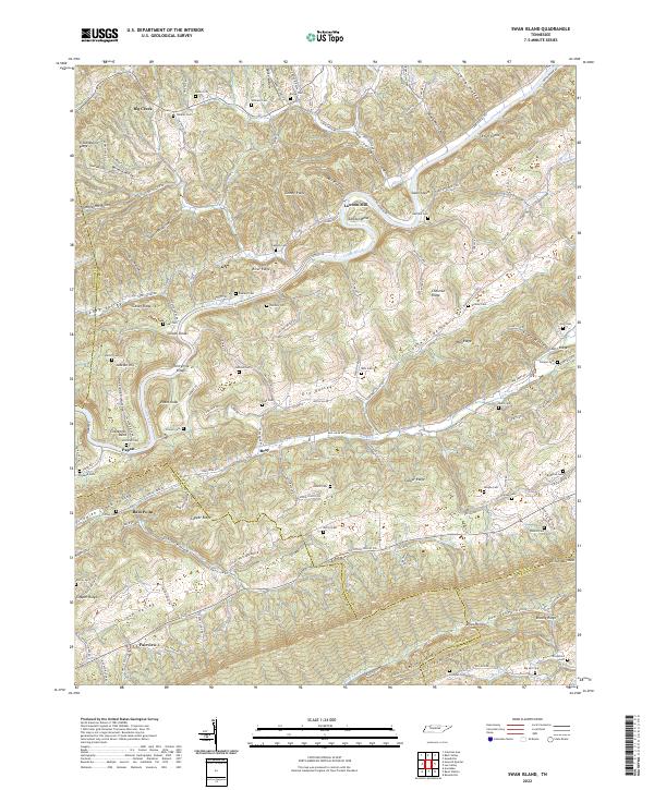
2022 Swan Island
Hancock County, TN