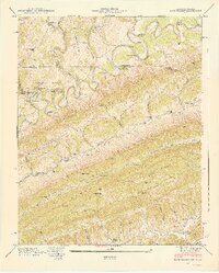
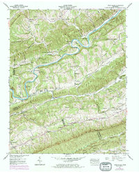
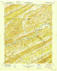
1948 Map of Back Valley
USGS Topo · Published 1949About this map
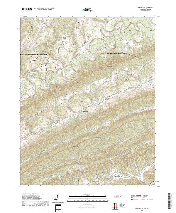
The Powell River meanders across the state line between Virginia and Tennessee, carving through a landscape defined by prominent ridges like Powell Mountain and Newman Ridge. This 1940s topography captures a rural society organized around river crossings and steep mountain gaps. Settlements such as Evanston and Bodine are connected by a network of fords, including Fletcher Ford and Baldwin Ford, which remained essential for local transit before widespread bridging.
Find a feature on this map
75 named features on this map. Tap any name to fly to it.
Don’t see what you’re looking for? This feature index may not catch every label — zoom into the map to look around manually.
Map Details
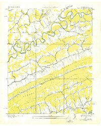
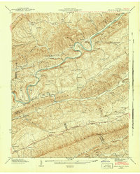
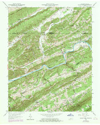
Editions of this 1948 Back Valley Map
2 editions found
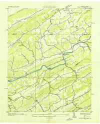
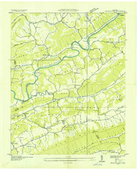
Historical Maps of Thompson Mill Through Time
14 maps found
1935 Back Valley
Hancock County, TN
1935 Kyles Ford
Hancock County, TN
1935 Swan Island
Hancock County, TN
1941 Swan Island
Hancock County, TN
1942 Swan Island
Hancock County, TN
1946 Back Valley
Hancock County, TN
1948 Back Valley
Hancock County, TN
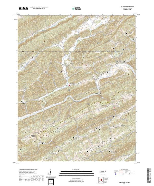
1950 Kyles Ford
Hancock County, TN
1969 Kyles Ford
Hancock County, TN
1976 Back Valley
Hancock County, TN
1976 Kyles Ford
Hancock County, TN
2022 Back Valley
Hancock County, TN
2022 Kyles Ford
Hancock County, TN
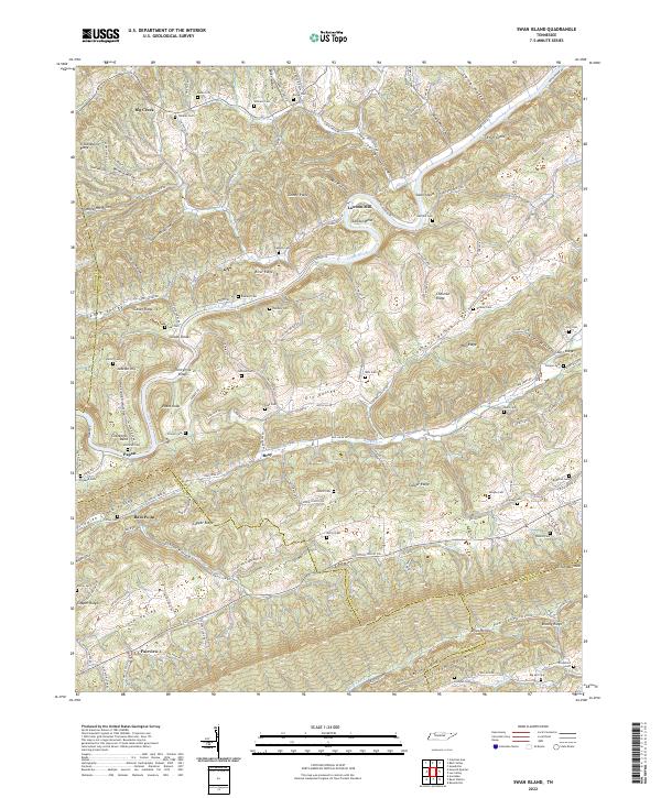
2022 Swan Island
Hancock County, TN