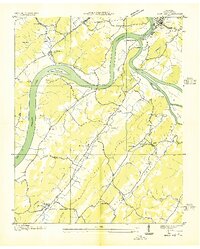
1936 Map of Bacon Gap
USGS Topo · Published 1936About this map
Kingston anchors the northern edge of this landscape where the Clinch River meets the Tennessee River at Southwest Point. This 1936 field examination documents a river-dependent economy in transition, featuring active crossings like the Twin Rivers Ferry, James Ferry, and Hood Landing Ferry alongside a newly noted Toll Bridge. The interior is defined by a network of ridges and small rural settlements such as Riley, Hood, and Barnardsville. Significant local history and genealogical data are preserved through the labeling of several country churches and schools, including Caney Ford Ch, Ponder Ch, and Fairview Sch. Large islands like Caney Creek Island and Long Island occupy the river bends, while Tennessee Valley Authority transmission lines reflect the burgeoning industrial infrastructure of the mid-1930s in Roane County.
Find a feature on this map
51 named features on this map. Tap any name to fly to it.
Don’t see what you’re looking for? This feature index may not catch every label — zoom into the map to look around manually.
Map Details
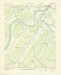
Editions of this 1936 Bacon Gap Map
2 editions found
Other maps of this area

1887 · Kingston
USGS Topo · 1:125,000

1891 · Kingston
USGS Topo · 1:125,000

1893 · Kingston
USGS Topo · 1:125,000

1895 · Loudon
USGS Topo · 1:125,000

1935 · Rockwood
USGS Topo · 1:24,000

1935 · Elverton
USGS Topo · 1:24,000

1935 · Harriman
USGS Topo · 1:24,000

1935 · Philadelphia
USGS Topo · 1:24,000

1936 · Cave Creek
USGS Topo · 1:24,000

1936 · Cardiff
USGS Topo · 1:24,000