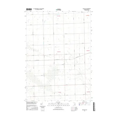
2017 Map of Bad Axe SE
USGS Topo · Published 2017About this map
Agricultural patterns in Huron County are clearly defined by a rigid grid of township roads and drainage systems that support the Thumb region's farming economy. The landscape is carved by the E Br Willow Cr and the Rock Falls Cr, while the Essenmacher Drain highlights the engineered water management essential to local field productivity. Local history and genealogy are centered near the intersection of Duda Rd and S Parisville Rd, where the Lutheran Cem serves as a primary landmark for the surrounding community. This area, spanning several townships including T16N R14E and T17N R15E, remains characterized by its sprawling farmsteads and long-established transit corridors such as Sand Beach Rd and Helena Rd.
Find a feature on this map
35 named features on this map. Tap any name to fly to it.
Don’t see what you’re looking for? This feature index may not catch every label — zoom into the map to look around manually.
Map Details
Editions of this 2017 Bad Axe SE Map
This is the sole edition of this map. No revisions or reprints were ever made.
Other maps of this area

1954 · Flint
USGS Topo · 1:250,000

1958 · Flint
USGS Topo · 1:250,000

1963 · Ruth
USGS Topo · 1:24,000

1963 · Ubly
USGS Topo · 1:24,000

1963 · Minden City
USGS Topo · 1:24,000

1970 · Port Hope
USGS Topo · 1:24,000

1970 · Kinde East
USGS Topo · 1:24,000

1970 · Redman
USGS Topo · 1:24,000

1970 · Harbor Beach
USGS Topo · 1:24,000

1970 · Bad Axe SE
USGS Topo · 1:24,000