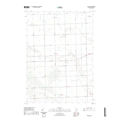
2019 Map of Bad Axe SE
USGS Topo · Published 2019About this map
Agricultural drainage and section-line roads define the landscape of Bloomfield Township and its surroundings in this modern Huron County survey. The Lutheran Cem stands as a central local landmark amidst a complex network of waterways, including the Bloomfield Sigel Drain and E Br Willow Cr. The map reveals the sophisticated irrigation and management of this Thumb region terrain, where named channels like the Essenmacher Drain, Savage Drain, and Schelke Drain parallel the grid of rural routes. Genealogists can trace family connections through these land divisions and the placement of the cemetery near the intersection of Duda Rd and S Parisville Rd. The presence of numerous drains like the Rock Falls Cr and Boltzer Drain indicates the historical effort to reclaim and maintain this productive farmland.
Find a feature on this map
43 named features on this map. Tap any name to fly to it.
Don’t see what you’re looking for? This feature index may not catch every label — zoom into the map to look around manually.
Map Details
Editions of this 2019 Bad Axe SE Map
This is the sole edition of this map. No revisions or reprints were ever made.
Other maps of this area

1954 · Flint
USGS Topo · 1:250,000

1958 · Flint
USGS Topo · 1:250,000

1963 · Ruth
USGS Topo · 1:24,000

1963 · Ubly
USGS Topo · 1:24,000

1963 · Minden City
USGS Topo · 1:24,000

1970 · Port Hope
USGS Topo · 1:24,000

1970 · Kinde East
USGS Topo · 1:24,000

1970 · Redman
USGS Topo · 1:24,000

1970 · Harbor Beach
USGS Topo · 1:24,000

1970 · Bad Axe SE
USGS Topo · 1:24,000