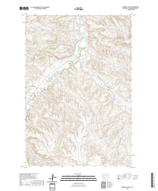
2024 Map of Badbaby Coulee
USGS Topo · Published 2024About this map
Pryor Creek and its complex network of tributaries define this landscape in Yellowstone County, where drainage patterns have carved a dense system of coulees. The map details the convergence of the East Fork Pryor Creek and smaller seasonal flows like Badbaby Coulee and Smitty Coulee. Human intervention in this arid environment is evidenced by the Coburn Ditch, an irrigation feature that cuts through the northern sections near Alkali Creek. The topography is further navigated by local thoroughfares such as Hardin Rd and Pryor Rd, which follow the natural contours of the valley floors. These roads, along with the Vermandel Indian Svc Rd, provide the primary access through the broken terrain of the Crow Indian Reservation boundaries and surrounding range lands.
Find a feature on this map
18 named features on this map. Tap any name to fly to it.
Don’t see what you’re looking for? This feature index may not catch every label — zoom into the map to look around manually.
Map Details
Editions of this 2024 Badbaby Coulee Map
This is the sole edition of this map. No revisions or reprints were ever made.
Other maps of this area

1893 · Huntley
USGS Topo · 1:125,000

1954 · Billings
USGS Topo · 1:250,000

1956 · Billings East
USGS Topo · 1:24,000

1957 · Billings
USGS Topo · 1:250,000

1958 · Billings
USGS Topo · 1:250,000

1967 · Soda Springs NW
USGS Topo · 1:24,000

1967 · Soda Springs
USGS Topo · 1:24,000

1967 · Cottonwood Creek
USGS Topo · 1:24,000
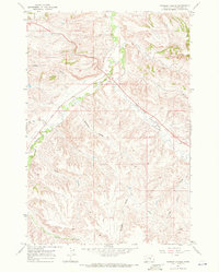
1967 · Badbaby Coulee
USGS Topo · 1:24,000
1967 · Vale Creek Ranch
USGS Topo · 1:24,000