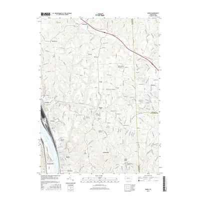
2016 Map of Baden
USGS Topo · Published 2016About this map
The Ohio River corridor in Beaver County serves as the primary industrial and transport artery for this region, anchoring settlements like Baden, Conway, and Aliquippa. The landscape quickly transitions from these riverfront communities into the high, dissected plateaus of Economy and the rural reaches of Butler County. The map reveals a dense network of family and community history through its numerous religious and burial sites, such as Saint John's Parish Cem and the Sisters Cem Saint Joseph of Baden.
Find a feature on this map
232 named features on this map. Tap any name to fly to it.
Don’t see what you’re looking for? This feature index may not catch every label — zoom into the map to look around manually.
Map Details
Editions of this 2016 Baden Map
This is the sole edition of this map. No revisions or reprints were ever made.
Other maps of this area

1901 · Beaver
USGS Topo · 1:62,500

1902 · New Castle
USGS Topo · 1:62,500

1904 · Newcastle
USGS Topo · 1:62,500

1904 · Beaver
USGS Topo · 1:62,500

1906 · Sewickley
USGS Topo · 1:62,500

1908 · Sewickley
USGS Topo · 1:62,500

1908 · Zelienople
USGS Topo · 1:62,500

1910 · Zelienople
USGS Topo · 1:62,500

1951 · Canton
USGS Topo · 1:250,000

1953 · Canton
USGS Topo · 1:250,000