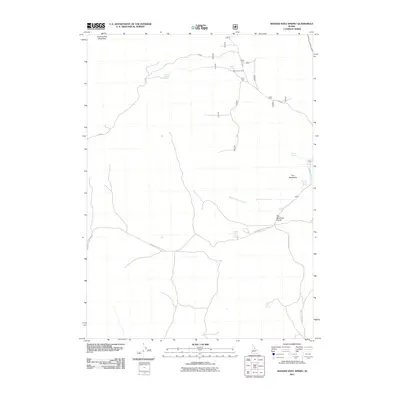
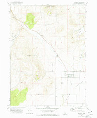
2011 Map of Badger Hole Spring
USGS Topo · Published 2011About this map
Quaking Asp Mountain anchors this high-elevation landscape in southern Idaho, where a complex network of springs and drainage systems defines the local topography. The area is characterized by seasonal grazing infrastructure, most notably Salyer Cow Camp, and a reliance on water sources like Salyer Spring and Badger Hole Spring. Movement through this high-country terrain is dictated by the passage over The Meadows Divide, which separates distinct drainages including Meadow Brook Creek.
Find a feature on this map
13 named features on this map. Tap any name to fly to it.
Don’t see what you’re looking for? This feature index may not catch every label — zoom into the map to look around manually.
Map Details
Editions of this 2011 Badger Hole Spring Map
This is the sole edition of this map. No revisions or reprints were ever made.
Other maps of this area

1954 · Pocatello
USGS Topo · 1:250,000

1958 · Pocatello
USGS Topo · 1:250,000

1973 · Juniper
USGS Topo · 1:24,000

1973 · The Cove
USGS Topo · 1:24,000

1973 · Sublett Troughs
USGS Topo · 1:24,000
1973 · Roy
USGS Topo · 1:24,000

1973 · Black Pine
USGS Topo · 1:24,000
1973 · Stone
USGS Topo · 1:24,000
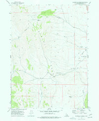
1973 · Badger Hole Spring
USGS Topo · 1:24,000
1973 · Holbrook
USGS Topo · 1:24,000