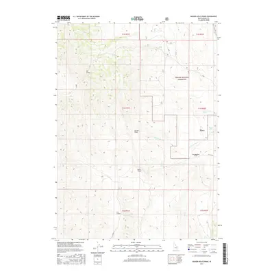
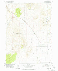
2017 Map of Badger Hole Spring
USGS Topo · Published 2017About this map
Curlew National Grassland dominates the eastern portion of this landscape, where the high desert terrain of Oneida County meets the foothills of the Sublett Range. The map reveals a high-altitude drainage network centered around Meadow Brook Cr, flowing through the prominent clearing known as The Meadows and its associated topographical feature, The Meadows Divide.
Find a feature on this map
22 named features on this map. Tap any name to fly to it.
Don’t see what you’re looking for? This feature index may not catch every label — zoom into the map to look around manually.
Map Details
Editions of this 2017 Badger Hole Spring Map
This is the sole edition of this map. No revisions or reprints were ever made.
Other maps of this area

1954 · Pocatello
USGS Topo · 1:250,000

1958 · Pocatello
USGS Topo · 1:250,000

1973 · Juniper
USGS Topo · 1:24,000

1973 · The Cove
USGS Topo · 1:24,000

1973 · Sublett Troughs
USGS Topo · 1:24,000
1973 · Roy
USGS Topo · 1:24,000

1973 · Black Pine
USGS Topo · 1:24,000
1973 · Stone
USGS Topo · 1:24,000
1973 · Badger Hole Spring
USGS Topo · 1:24,000
1973 · Holbrook
USGS Topo · 1:24,000