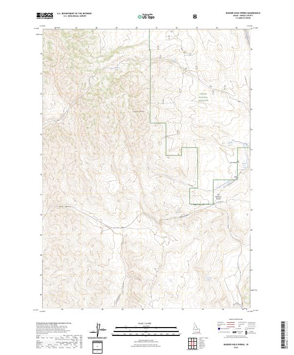
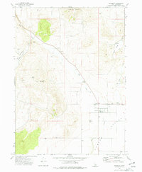
2023 Map of Badger Hole Spring
USGS Topo · Published 2023About this map
Curlew National Grassland dominates the northeastern landscape of this Idaho quadrangle, where the Sublett Range carves a distinctive topography across Oneida County. Water is the primary architect of the local geography, defined by a network of isolated water sources like Quaking Asp Spring, Salyer Spring, and the namesake Badger Hole Spring. These features are vital landmarks in a high-desert environment, serving as historical touchstones for those navigating the canyons and meadows of the region.
Find a feature on this map
24 named features on this map. Tap any name to fly to it.
Don’t see what you’re looking for? This feature index may not catch every label — zoom into the map to look around manually.
Map Details
Editions of this 2023 Badger Hole Spring Map
This is the sole edition of this map. No revisions or reprints were ever made.
Other maps of this area

1954 · Pocatello
USGS Topo · 1:250,000

1958 · Pocatello
USGS Topo · 1:250,000

1973 · Juniper
USGS Topo · 1:24,000

1973 · The Cove
USGS Topo · 1:24,000

1973 · Sublett Troughs
USGS Topo · 1:24,000
1973 · Roy
USGS Topo · 1:24,000

1973 · Black Pine
USGS Topo · 1:24,000
1973 · Stone
USGS Topo · 1:24,000
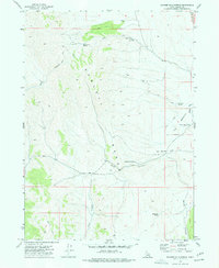
1973 · Badger Hole Spring
USGS Topo · 1:24,000
1973 · Holbrook
USGS Topo · 1:24,000