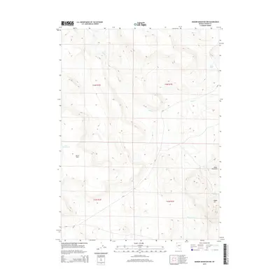
2015 Map of Badger Mountain NW
USGS Topo · Published 2015About this map
Bitner Table dominates the western portion of this high-desert landscape in northern Washoe County. This area of Nevada is defined by its significant relief and strategic water sources, essential for ranching and transit in a semi-arid environment. The Badger Mountains rise in the east, with Badger Mtn serving as a primary landmark. Seasonal hydrology is captured through the winding path of Badger Cr and the presence of named water features like Fatty Martin Lake. Remote springs, such as Post Camp Spring and North Spring, indicate historical points of importance for livestock or travelers. The layout of the land is further organized by the Public Land Survey System, with township boundaries for t44n r22e and t44n r23e clearly marked, alongside the path of CR-8a.
Find a feature on this map
13 named features on this map. Tap any name to fly to it.
Don’t see what you’re looking for? This feature index may not catch every label — zoom into the map to look around manually.
Map Details
Editions of this 2015 Badger Mountain NW Map
This is the sole edition of this map. No revisions or reprints were ever made.
Other maps of this area

1889 · Long Valley
USGS Topo · 1:250,000

1954 · Vya
USGS Topo · 1:250,000

1958 · Vya
USGS Topo · 1:250,000

1962 · Vya
USGS Topo · 1:250,000

1966 · Bald Mountain
USGS Topo · 1:24,000

1966 · Swan Lake
USGS Topo · 1:24,000

1966 · Badger Mtn NW
USGS Topo · 1:24,000

1966 · Massacre Lake
USGS Topo · 1:24,000

1966 · Blowout Mtn
USGS Topo · 1:24,000

1966 · Nut Mountain
USGS Topo · 1:24,000