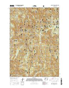
2017 Map of Bagby Hot Springs
USGS Topo · Published 2017About this map
Bagby Hot Springs serves as the focal point of this 2017 survey, situated along the Hot Springs Fork within the Mount Hood National Forest. The landscape is defined by the convergence of numerous named drainages, including Nohorn Cr, Skin Cr, and Pansy Cr, which carve through the elevations marked by Baty Butte and Thunder Mtn. The boundary between Clackamas and Marion counties runs across the southern portion of the sheet, where the forest transition into the Willamette National Forest occurs.
Find a feature on this map
47 named features on this map. Tap any name to fly to it.
Don’t see what you’re looking for? This feature index may not catch every label — zoom into the map to look around manually.
Map Details
Editions of this 2017 Bagby Hot Springs Map
This is the sole edition of this map. No revisions or reprints were ever made.
Other maps of this area

1916 · Estacada
USGS Topo · 1:125,000

1929 · Mill City
USGS Topo · 1:125,000

1948 · Vancouver
USGS Topo · 1:250,000

1950 · Vancouver
USGS Topo · 1:250,000

1950 · Vancouver
USGS Topo · 1:250,000

1953 · Salem
USGS Topo · 1:250,000

1954 · Salem
USGS Topo · 1:250,000

1955 · Colton
USGS Topo · 1:62,500

1955 · Mill City
USGS Topo · 1:62,500

1956 · Fish Creek Mtn
USGS Topo · 1:62,500