
1956 Map of Fish Creek Mtn
USGS Topo · Published 1956About this map
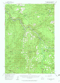
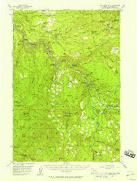
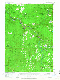
Clackamas River and its major tributaries, including the North Fork and Roaring River, dominate this mid-century survey of the Oregon wilderness. The landscape is defined by the early infrastructure of the national forest, featuring a network of sites like Fish Creek Forest Camp, Lazy Bend Forest Camp, and Ripplebrook Forest Camp. Along the riverbanks, specialized facilities like the Powerhouse near Three Lynx and the Sawmill on Bull Creek illustrate the industrial and utility development of the era. Higher elevations are marked by critical fire and safety outposts, such as the North Fork Guard Sta and Lookout Sprs Guard Sta. Significant landmarks for backcountry travel include the Fish Creek Landing Strip and the distant Austin Hot Springs, reflecting the remote yet increasingly accessible nature of the Cascades during the 1950s.
Find a feature on this map
109 named features on this map. Tap any name to fly to it.
Don’t see what you’re looking for? This feature index may not catch every label — zoom into the map to look around manually.
Map Details
Editions of this 1956 Fish Creek Mtn Map
4 editions found
Other maps of this area

1911 · Boring
USGS Topo · 1:48,000

1914 · Boring
USGS Topo · 1:62,500

1916 · Estacada
USGS Topo · 1:125,000

1924 · Mount Hood
USGS Topo · 1:125,000

1927 · Mount Hood
USGS Topo · 1:125,000

1927 · Mt. Jefferson
USGS Topo · 1:125,000

1929 · Mill City
USGS Topo · 1:125,000

1930 · Mt. Jefferson
USGS Topo · 1:125,000

1940 · Boring
USGS Topo · 1:62,500

1948 · Vancouver
USGS Topo · 1:250,000