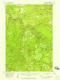
1956 Map of Fish Creek Mtn
USGS Topo · Published 1958About this map
The Clackamas River watershed in the mid-1950s is defined by its deep canyons and early mid-century forest infrastructure. The hydroelectric developments near Three Lynx and Whitewater are prominent, featuring a Powerhouse, a Surge Tank, and a Pipeline system that reflects the era's focus on river power. This rugged interior of Clackamas County was managed through a network of guard and ranger stations, including the North Fork Guard Sta and Oak Grove Ranger Sta.
Find a feature on this map
120 named features on this map. Tap any name to fly to it.
Don’t see what you’re looking for? This feature index may not catch every label — zoom into the map to look around manually.
Map Details
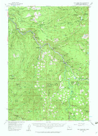
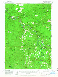
Editions of this 1956 Fish Creek Mtn Map
4 editions found

Other maps of this area

1911 · Boring
USGS Topo · 1:48,000

1914 · Boring
USGS Topo · 1:62,500

1916 · Estacada
USGS Topo · 1:125,000

1924 · Mount Hood
USGS Topo · 1:125,000

1927 · Mount Hood
USGS Topo · 1:125,000

1927 · Mt. Jefferson
USGS Topo · 1:125,000

1929 · Mill City
USGS Topo · 1:125,000

1930 · Mt. Jefferson
USGS Topo · 1:125,000

1940 · Boring
USGS Topo · 1:62,500

1948 · Vancouver
USGS Topo · 1:250,000