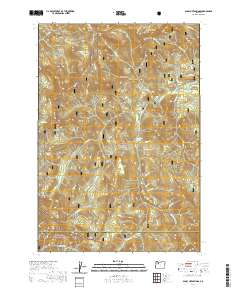
2020 Map of Bagby Hot Springs
USGS Topo · Published 2020About this map
Bagby Hot Springs is the central landmark of this protected wilderness corridor within the Mount Hood National Forest and Willamette National Forest. The landscape is dominated by high-elevation terrain including Thunder Mtn and Baty Butte, which overlook a complex network of tributaries such as Nohorn Cr and the Hot Springs Fork of the Collawash River. This 2020 survey documents the modern boundaries of the Fish Creek Wild and Scenic River, reflecting late-20th-century conservation designations.
Find a feature on this map
42 named features on this map. Tap any name to fly to it.
Don’t see what you’re looking for? This feature index may not catch every label — zoom into the map to look around manually.
Map Details
Editions of this 2020 Bagby Hot Springs Map
This is the sole edition of this map. No revisions or reprints were ever made.
Other maps of this area

1916 · Estacada
USGS Topo · 1:125,000

1929 · Mill City
USGS Topo · 1:125,000

1948 · Vancouver
USGS Topo · 1:250,000

1950 · Vancouver
USGS Topo · 1:250,000

1950 · Vancouver
USGS Topo · 1:250,000

1953 · Salem
USGS Topo · 1:250,000

1954 · Salem
USGS Topo · 1:250,000

1955 · Colton
USGS Topo · 1:62,500

1955 · Mill City
USGS Topo · 1:62,500

1956 · Fish Creek Mtn
USGS Topo · 1:62,500