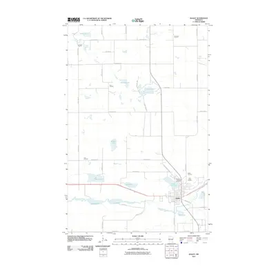
2010 Map of Bagley
USGS Topo · Published 2010About this map
The Clearwater River and its chain of glacial lakes define this Clearwater County landscape, centered on the community of Bagley. This 2010 survey illustrates the town’s established infrastructure, including the Clearwater County Fairground situated just north of Lake Lomond. The surrounding rural township is characterized by a high density of small water bodies like Hegre Lake, Monson Lake, and the connected First Lake and Second Lake, which follow the river's westward course.
Find a feature on this map
53 named features on this map. Tap any name to fly to it.
Don’t see what you’re looking for? This feature index may not catch every label — zoom into the map to look around manually.
Map Details
Editions of this 2010 Bagley Map
This is the sole edition of this map. No revisions or reprints were ever made.
Other maps of this area

1919 · Fosston
USGS Topo · 1:62,500

1943 · Bagley
USGS Topo · 1:62,500

1954 · Bemidji
USGS Topo · 1:250,000

1957 · Bemidji
USGS Topo · 1:250,000

1958 · Bemidji
USGS Topo · 1:250,000

1969 · Ebro
USGS Topo · 1:24,000

1969 · Clearbrook
USGS Topo · 1:24,000

1969 · Leonard
USGS Topo · 1:24,000

1969 · Fosston SE
USGS Topo · 1:24,000

1969 · Gonvick
USGS Topo · 1:24,000