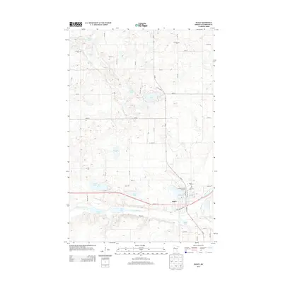
2013 Map of Bagley
USGS Topo · Published 2013About this map
Bagley serves as the hub of this Clearwater County landscape, centered at the junction of Us-2 and MN-92. The town's layout is defined by its proximity to Lake Lomond and the Clearwater River, which flows through the southern portion of the quadrangle, connecting First Lake and Second Lake. The area's settlement history is marked by numerous rural cemeteries distributed across the township grid, including Concordia Cem, Emmanuel Cem, and Zion Cem, providing valuable markers for local genealogical research.
Find a feature on this map
43 named features on this map. Tap any name to fly to it.
Don’t see what you’re looking for? This feature index may not catch every label — zoom into the map to look around manually.
Map Details
Editions of this 2013 Bagley Map
This is the sole edition of this map. No revisions or reprints were ever made.
Other maps of this area

1919 · Fosston
USGS Topo · 1:62,500

1943 · Bagley
USGS Topo · 1:62,500

1954 · Bemidji
USGS Topo · 1:250,000

1957 · Bemidji
USGS Topo · 1:250,000

1958 · Bemidji
USGS Topo · 1:250,000

1969 · Ebro
USGS Topo · 1:24,000

1969 · Clearbrook
USGS Topo · 1:24,000

1969 · Leonard
USGS Topo · 1:24,000

1969 · Fosston SE
USGS Topo · 1:24,000

1969 · Gonvick
USGS Topo · 1:24,000