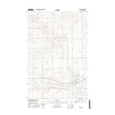
2016 Map of Bagley
USGS Topo · Published 2016About this map
Bagley serves as the focal point for this northern Minnesota landscape, situated just north of the Clearwater River and the connected waters of First Lake and Second Lake. The town is flanked by Lake Lomond to the east, while the surrounding countryside is defined by a dense network of glacial lakes including Monson Lake, Lone Lake, and Wallborg Lake. The mapping reveals a high concentration of local burial sites, which are essential for genealogical research in this portion of Clearwater County. These include the Saint Joseph Cem, Bagley Cem, Emmanuel Cem, and Gran Cem, often located near rural intersections such as those along Co RD 45. The intricate path of the Lost River and Walker Brook further illustrates the complex hydrology of the region, where numerous unnamed wetlands intermingle with established townships like t148n r37w and t147n r38w.
Find a feature on this map
86 named features on this map. Tap any name to fly to it.
Don’t see what you’re looking for? This feature index may not catch every label — zoom into the map to look around manually.
Map Details
Editions of this 2016 Bagley Map
This is the sole edition of this map. No revisions or reprints were ever made.
Other maps of this area

1919 · Fosston
USGS Topo · 1:62,500

1943 · Bagley
USGS Topo · 1:62,500

1954 · Bemidji
USGS Topo · 1:250,000

1957 · Bemidji
USGS Topo · 1:250,000

1958 · Bemidji
USGS Topo · 1:250,000

1969 · Ebro
USGS Topo · 1:24,000

1969 · Clearbrook
USGS Topo · 1:24,000

1969 · Leonard
USGS Topo · 1:24,000

1969 · Fosston SE
USGS Topo · 1:24,000

1969 · Gonvick
USGS Topo · 1:24,000