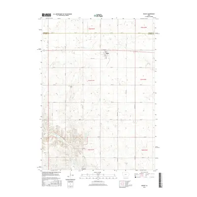
2015 Map of Bagley
USGS Topo · Published 2015About this map
Bagley serves as a primary settlement point on this western Iowa landscape, where a grid of rural roads meets the diagonal path of Railway St. The town's layout, centered around Main St, provides a look at small-town structure in the early 21st century. To the south, the terrain becomes more varied as it descends toward the Middle Raccoon River and the northern reaches of Lake Panorama. These water features, alongside Springbrook Cr and Battle Run, influence the local topography, creating more complex drainage patterns than the agricultural plains to the north.
Find a feature on this map
50 named features on this map. Tap any name to fly to it.
Don’t see what you’re looking for? This feature index may not catch every label — zoom into the map to look around manually.
Map Details
Editions of this 2015 Bagley Map
This is the sole edition of this map. No revisions or reprints were ever made.
Other maps of this area

1952 · Panora
USGS Topo · 1:62,500

1954 · Bagley
USGS Topo · 1:62,500

1954 · Omaha
USGS Topo · 1:250,000

1957 · Omaha
USGS Topo · 1:250,000

1958 · Omaha
USGS Topo · 1:250,000

1971 · Coon Rapids NE
USGS Topo · 1:24,000

1971 · Bayard
USGS Topo · 1:24,000

1971 · Guthrie Center West
USGS Topo · 1:24,000

1982 · Guthrie Center East
USGS Topo · 1:24,000

1982 · Panora
USGS Topo · 1:24,000