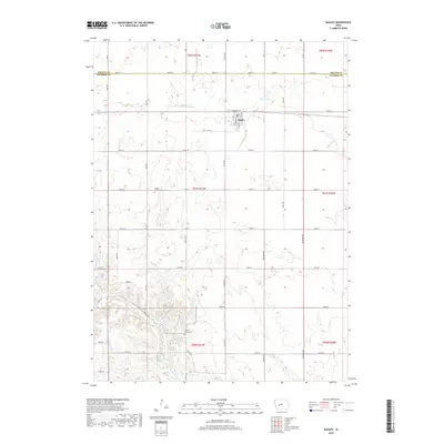
2018 Map of Bagley
USGS Topo · Published 2018About this map
Bagley serves as the primary municipal center in this section of Guthrie County, situated along the corridor of Railway St and the historic east-west rail line. The surrounding landscape is defined by the drainage basins of Mosquito Cr to the north and the Middle Raccoon River which winds through the southern reaches of the quadrangle. For genealogists and local historians, several landmark sites provide physical links to the area's early settlement. Dodge Center Cem is located centrally along 130th St, while Moffit Grove Cem sits further south near the banks of Springbrook Cr. The transition from the flat agricultural tablelands near the Greene County border to the more dissected terrain near Battle Run illustrates the characteristic topography of west-central Iowa.
Find a feature on this map
48 named features on this map. Tap any name to fly to it.
Don’t see what you’re looking for? This feature index may not catch every label — zoom into the map to look around manually.
Map Details
Editions of this 2018 Bagley Map
This is the sole edition of this map. No revisions or reprints were ever made.
Other maps of this area

1952 · Panora
USGS Topo · 1:62,500

1954 · Bagley
USGS Topo · 1:62,500

1954 · Omaha
USGS Topo · 1:250,000

1957 · Omaha
USGS Topo · 1:250,000

1958 · Omaha
USGS Topo · 1:250,000

1971 · Coon Rapids NE
USGS Topo · 1:24,000

1971 · Bayard
USGS Topo · 1:24,000

1971 · Guthrie Center West
USGS Topo · 1:24,000

1982 · Guthrie Center East
USGS Topo · 1:24,000

1982 · Panora
USGS Topo · 1:24,000