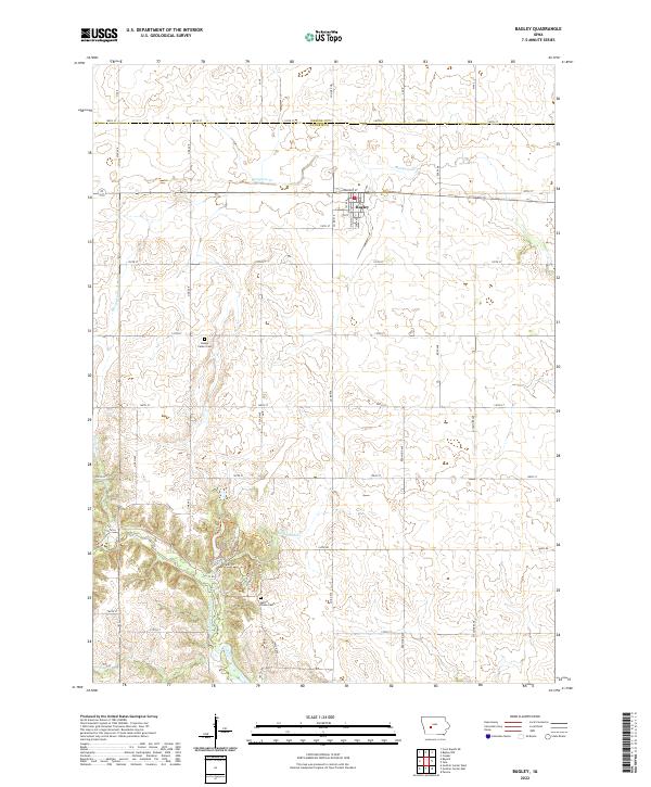
2022 Map of Bagley
USGS Topo · Published 2022About this map
Bagley serves as the central hub of this Guthrie County landscape, where the town layout is defined by the east-west corridor of Railway St and the grid of local streets like 5th St. The surrounding countryside is deeply etched by a drainage network including Mosquito Cr to the north and the winding Middle Raccoon River in the south. This later-era survey highlights the integration of recreational and natural spaces, particularly around the river valley where the Aquatic Life Trl, Tank Trl, and Lake Trl provide access to the river's edge. For those researching family history, the map provides precise locations for Dodge Center Cem and Moffit Grove Cem, which remain as anchor points for the rural community amidst a patchwork of sections that straddle the border with Greene County.
Find a feature on this map
35 named features on this map. Tap any name to fly to it.
Don’t see what you’re looking for? This feature index may not catch every label — zoom into the map to look around manually.
Map Details
Editions of this 2022 Bagley Map
This is the sole edition of this map. No revisions or reprints were ever made.
Other maps of this area

1952 · Panora
USGS Topo · 1:62,500

1954 · Bagley
USGS Topo · 1:62,500

1954 · Omaha
USGS Topo · 1:250,000

1957 · Omaha
USGS Topo · 1:250,000

1958 · Omaha
USGS Topo · 1:250,000

1971 · Coon Rapids NE
USGS Topo · 1:24,000

1971 · Bayard
USGS Topo · 1:24,000

1971 · Guthrie Center West
USGS Topo · 1:24,000

1982 · Guthrie Center East
USGS Topo · 1:24,000

1982 · Panora
USGS Topo · 1:24,000