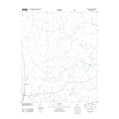
2012 Map of Bagley Lake
USGS Topo · Published 2012About this map
Bagley Lake sits at the center of this drainage network in Lafayette County, north of Oxford, where small creeks and branches define the local geography. The landscape is marked by a complex system of county roads that connect residential developments like Woodland Hills Estates with more traditional rural landmarks. Genealogists and local historians can locate several family and community burial sites, including Owens Cem, Martin Cem, and Midway Cem, which are scattered among the timbered hills. The area is largely defined by its watercourses, such as Graham Mill Cr and Yellow Leaf Cr, which dictate the winding paths of roads like King Rd and Co RD 215. To the south, Camp Hopewell serves as a notable local landmark near the headwaters of Hurricane Cr. This 2012 survey illustrates the modern intersection of expanding residential areas and historical rural tracts.
Find a feature on this map
60 named features on this map. Tap any name to fly to it.
Don’t see what you’re looking for? This feature index may not catch every label — zoom into the map to look around manually.
Map Details
Editions of this 2012 Bagley Lake Map
This is the sole edition of this map. No revisions or reprints were ever made.
Other maps of this area

1940 · Oxford
USGS Topo · 1:62,500

1942 · Denmark
USGS Topo · 1:62,500

1943 · Denmark
USGS Topo · 1:62,500

1943 · Oxford
USGS Topo · 1:62,500

1944 · Tyro
USGS Topo · 1:62,500

1944 · Potts Camp
USGS Topo · 1:62,500

1945 · Potts Camp
USGS Topo · 1:62,500

1956 · Tupelo
USGS Topo · 1:250,000

1958 · Tupelo
USGS Topo · 1:250,000

1971 · Laws Hill
USGS Topo · 1:24,000