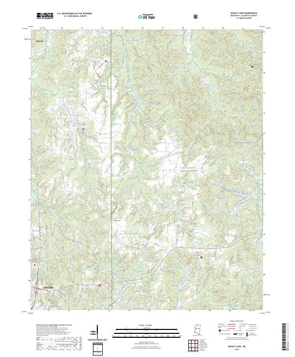
2024 Map of Bagley Lake
USGS Topo · Published 2024About this map
Holly Springs National Forest dominates the eastern half of this Lafayette County landscape, where the headwaters of Puskus Creek and Bagley Creek carve through the woodland. The terrain is defined by a dense network of tributary branches, including Bay Springs Branch and Fourmile Branch, which flow toward the larger drainage of Hurricane Creek. These watercourses historically shaped the settlement patterns of northern Mississippi, dictating the placement of early homesteads and community burial grounds away from the flood-prone bottoms.
Find a feature on this map
54 named features on this map. Tap any name to fly to it.
Don’t see what you’re looking for? This feature index may not catch every label — zoom into the map to look around manually.
Map Details
Editions of this 2024 Bagley Lake Map
This is the sole edition of this map. No revisions or reprints were ever made.
Other maps of this area

1940 · Oxford
USGS Topo · 1:62,500

1942 · Denmark
USGS Topo · 1:62,500

1943 · Denmark
USGS Topo · 1:62,500

1943 · Oxford
USGS Topo · 1:62,500

1944 · Tyro
USGS Topo · 1:62,500

1944 · Potts Camp
USGS Topo · 1:62,500

1945 · Potts Camp
USGS Topo · 1:62,500

1956 · Tupelo
USGS Topo · 1:250,000

1958 · Tupelo
USGS Topo · 1:250,000

1971 · Laws Hill
USGS Topo · 1:24,000