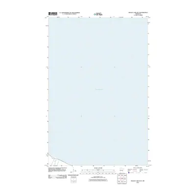
2010 Map of Bagley Lake OE N
USGS Topo · Published 2010About this map
Lower Red Lake dominates this northern Minnesota landscape, where the vast water body meets the shore near the mouth of the Sandy River. This 2010 survey illustrates the hydrography of the Red Lake Reservation area, focusing primarily on the aquatic expanse and the immediate coastal topography. The minimal development shown reflects the protected nature of the tribal lands, providing a clear view of the natural shoreline and river confluence as they appeared at the start of the decade. The map serves as a precise digital record of the lake's boundary and the drainage patterns of the river at the southwestern edge of the sheet.
Find a feature on this map
2 named features on this map. Tap any name to fly to it.
Don’t see what you’re looking for? This feature index may not catch every label — zoom into the map to look around manually.
Map Details
Editions of this 2010 Bagley Lake OE N Map
This is the sole edition of this map. No revisions or reprints were ever made.
Other maps of this area

1918 · Jelle
USGS Topo · 1:62,500

1919 · Churnes
USGS Topo · 1:62,500

1954 · Bemidji
USGS Topo · 1:250,000

1954 · Roseau
USGS Topo · 1:250,000

1957 · Roseau
USGS Topo · 1:250,000

1957 · Bemidji
USGS Topo · 1:250,000

1958 · Bemidji
USGS Topo · 1:250,000

1958 · Roseau
USGS Topo · 1:250,000

1972 · Bagley Lake
USGS Topo · 1:24,000
1972 · Red Lake
USGS Topo · 1:24,000