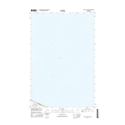
2016 Map of Bagley Lake OE N
USGS Topo · Published 2016About this map
Lower Red Lake dominates this expanse of Northern Minnesota, capturing the vast aquatic geography within the Red Lake Indian Reservation. The map covers a section where the massive water body meets its southern shoreline, revealing the transition from open water to the lowland drainage systems of the Sandy River. In the southwestern corner, the boundary between Beltrami and Clearwater counties intersects the land, marking a political division in an otherwise remote landscape.
Find a feature on this map
6 named features on this map. Tap any name to fly to it.
Don’t see what you’re looking for? This feature index may not catch every label — zoom into the map to look around manually.
Map Details
Editions of this 2016 Bagley Lake OE N Map
This is the sole edition of this map. No revisions or reprints were ever made.
Other maps of this area

1918 · Jelle
USGS Topo · 1:62,500

1919 · Churnes
USGS Topo · 1:62,500

1954 · Bemidji
USGS Topo · 1:250,000

1954 · Roseau
USGS Topo · 1:250,000

1957 · Roseau
USGS Topo · 1:250,000

1957 · Bemidji
USGS Topo · 1:250,000

1958 · Bemidji
USGS Topo · 1:250,000

1958 · Roseau
USGS Topo · 1:250,000

1972 · Bagley Lake
USGS Topo · 1:24,000
1972 · Red Lake
USGS Topo · 1:24,000