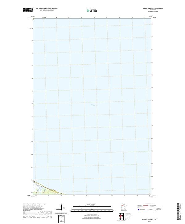
2022 Map of Bagley Lake OE N
USGS Topo · Published 2022About this map
Lower Red Lake dominates this northern Minnesota landscape, where the vast water body covers nearly the entire map area. Situated along the boundary of Beltrami and Clearwater Counties, the survey provides a clear look at the shoreline and the modern road network servicing the region. The southern edge of the sheet reveals the intersection of Resvn Hwy 3 and Resvn Hwy 6, providing essential access to the lakefront. This recent mapping shows the sparse development and preservation of the shoreline area within the Red Lake Reservation boundaries, primarily focusing on the expansive aquatic geography of the lake itself.
Find a feature on this map
8 named features on this map. Tap any name to fly to it.
Don’t see what you’re looking for? This feature index may not catch every label — zoom into the map to look around manually.
Map Details
Editions of this 2022 Bagley Lake OE N Map
This is the sole edition of this map. No revisions or reprints were ever made.
Other maps of this area

1918 · Jelle
USGS Topo · 1:62,500

1919 · Churnes
USGS Topo · 1:62,500

1954 · Bemidji
USGS Topo · 1:250,000

1954 · Roseau
USGS Topo · 1:250,000

1957 · Roseau
USGS Topo · 1:250,000

1957 · Bemidji
USGS Topo · 1:250,000

1958 · Bemidji
USGS Topo · 1:250,000

1958 · Roseau
USGS Topo · 1:250,000

1972 · Bagley Lake
USGS Topo · 1:24,000
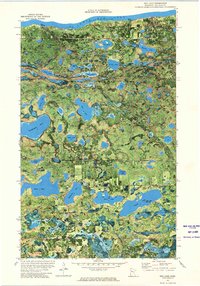
1972 · Red Lake
USGS Topo · 1:24,000